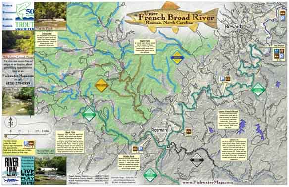
The Upper French Broad River is a convergence of the four branches and a transition from tumbling mountain streams to medium sized river. Our full color, waterproof map and fly fishing guide measures 11″ x 17 ” and shows all four branches from their headwaters to their convergence, and approx 27 miles of The French Broad. It has all the info you need to get on the water, including hatch charts, recommended flies, access points, put-in / take-out points, float times, parking locations, and local information.


